
Four Periods of Maps


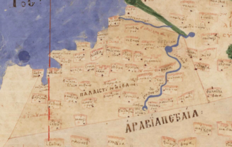
Introduction to Mapping Jordan
Jordan's unique, and vibrant, history is best captured in its maps. These maps help break Jordan’s history into four main periods.
Read More
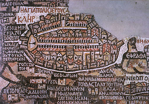
Jordan and the Ancient Bible World: Understanding Geography through Religion
From around the 6th century, the Madaba Map is one of the oldest mosaic pieces of ancient cartography.
Read More

Jordan and the Early Modern Period: Christian Exploration and the Age of Discovery
The Age of Discovery, or exploration, began in the 1400s, as European nations began expanding outwards to explore the world. This age, naturally, intensified and revived cartography, and these new European maps gained rapid popularity by integrating a Christian worldview.
Read More
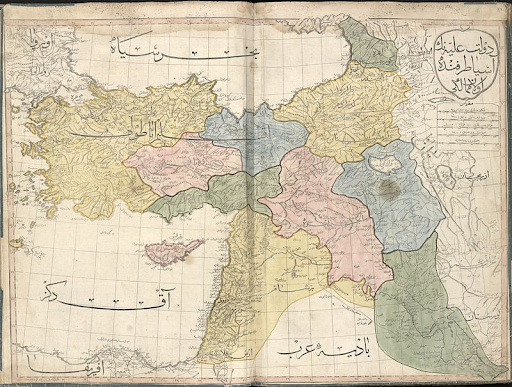
The Ottomans and the 19th Century: Shaping Jordan’s Modern Administrative Boundaries
The administrative divisions of the Ottomans coincided with an elevation in scientific methodology in cartography, and the maps of this age drift towards the historical and more accurate.
Read More
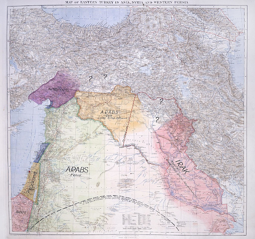
Colonial Rule: The Making of the Kingdom
T.E Lawrence created a hypothetical map splitting the Arab world and creating what was known as Transjordan, which eventually became today’s Jordan.
Read More
